Carp
Explore Carp’s village setting, schools, trails, essential services and transport connections.
Carp is a rural village in the City of Ottawa’s West Carleton-March Ward, on the Carp River. It grew as a service centre for the surrounding agricultural community. The Carp Fair dates to 1863, and the farmers’ market began in 1990. Local services include a pharmacy on Donald B. Munro Drive and the Carp library branch on Carp Road. By car, downtown Ottawa (Parliament Hill) is about 37.7 km away, roughly 33 minutes in free-flowing traffic (OSRM estimate).
Updated · Facts on this page link to their sources
About Carp
Carp is a rural village in the City of Ottawa’s West Carleton-March Ward, on the Carp River. It grew as a service centre for the surrounding agricultural community. The Carp Fair dates to 1863, and the farmers’ market began in 1990. Local services include a pharmacy on Donald B. Munro Drive and the Carp library branch on Carp Road.
Boundaries
The City's village boundary is mapped in Schedule A of the Carp Secondary Plan, with edges shaped by the Carp Hills and Carp River. Definitions vary: the broader Carp mailing area extends beyond the village. documents.ottawa.ca openstreetmap.org
Homes
The City’s 2012 Carp Community Design Plan describes detached houses as the predominant housing form at that time and explains that older lot patterns reflected private wells and septic systems. It also provides for semi-detached, duplex and multi-unit housing. This dated planning description is not a current count of housing types or construction eras. app06.ottawa.ca
- Carp Fair’s agricultural tradition began in 1863.
- A seasonal producer market at the fairgrounds.
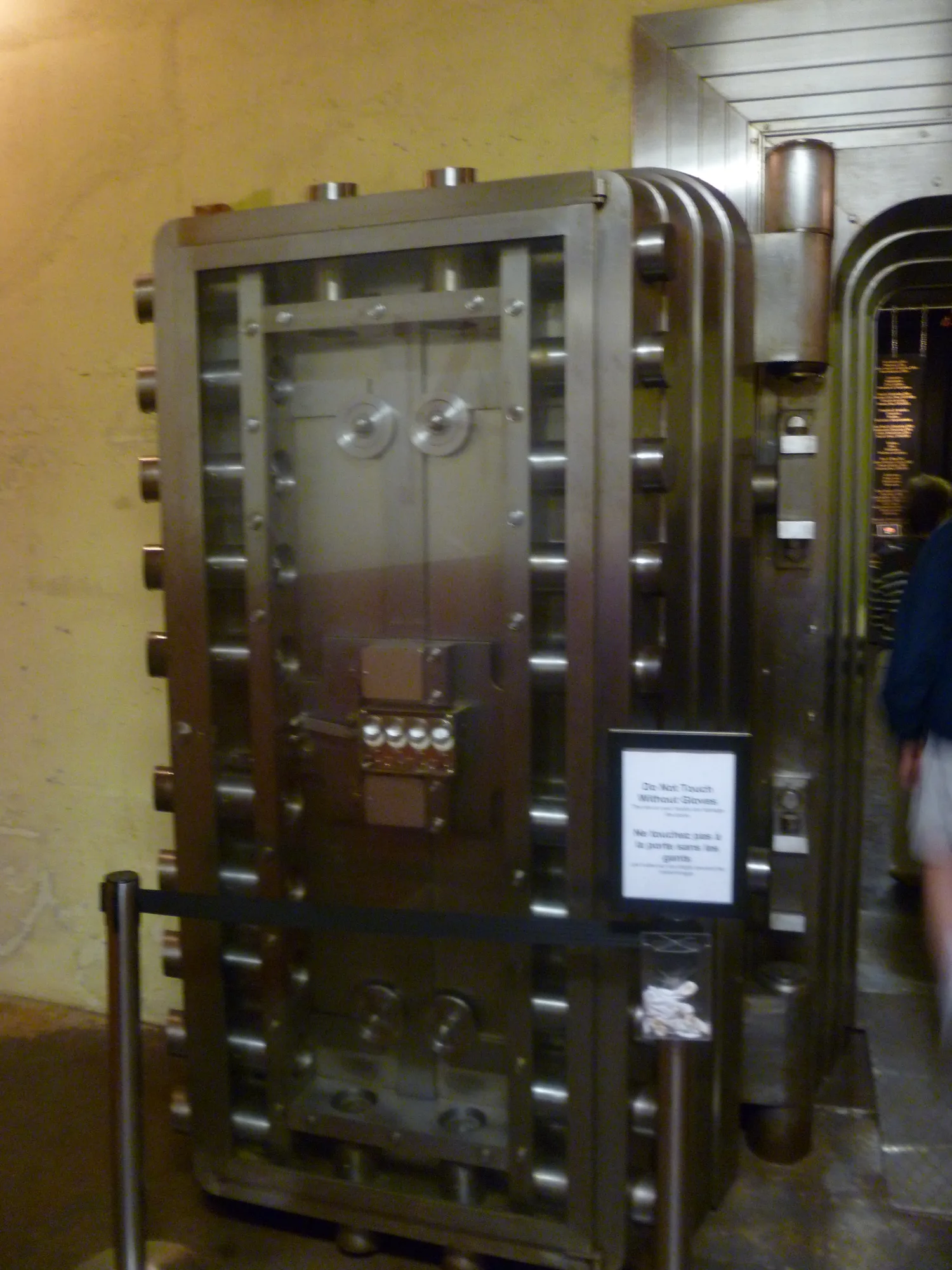
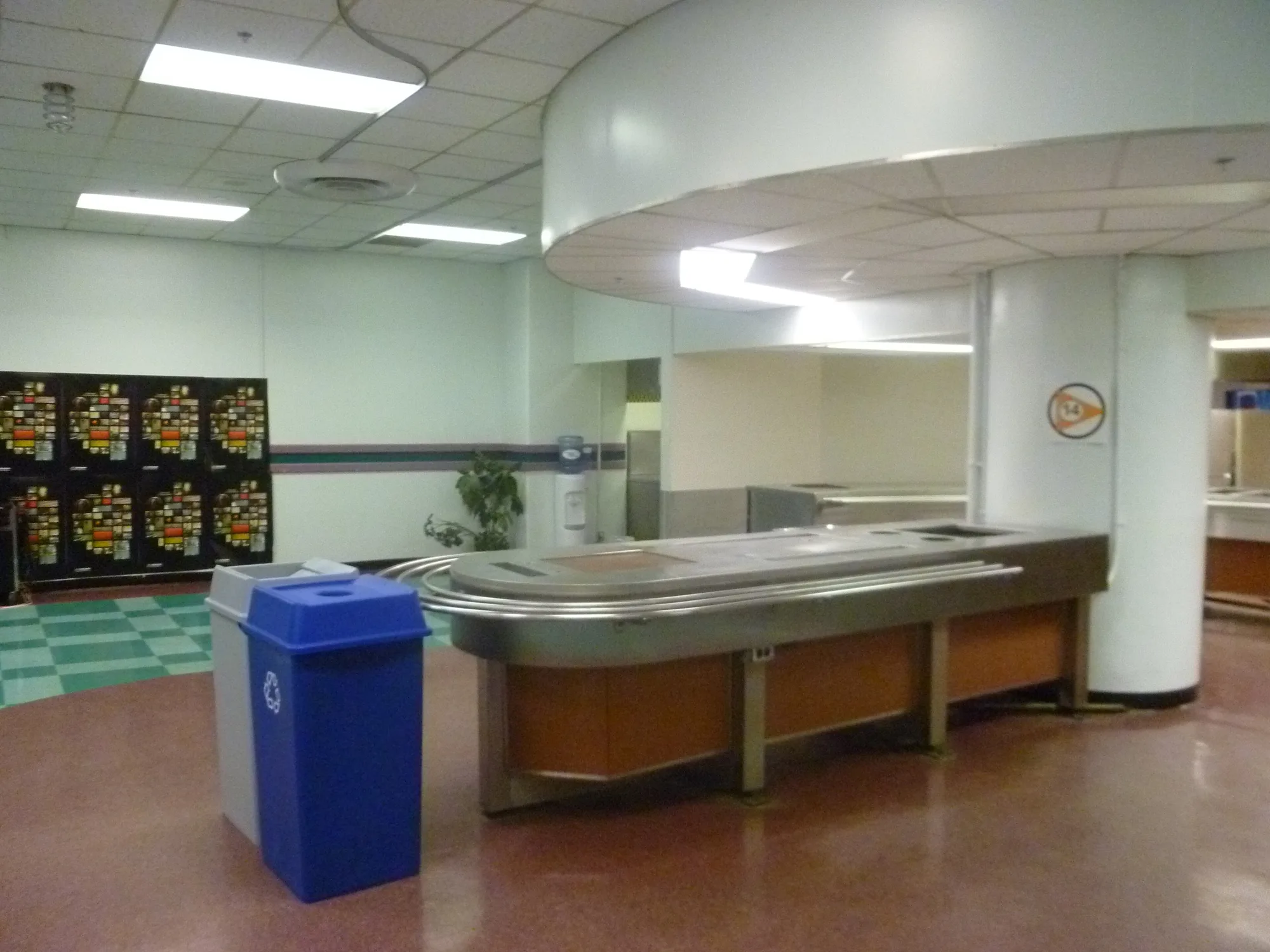
- The Diefenbunker preserves a former underground government headquarters.
- A crushed-gravel village walk at Hidden Lake Park.
- Rugged hiking on the nearby Crazy Horse Trail.
- Public skating at W. Erskine Johnston Arena.
- A library branch in a former Canadian Forces base building.
Community
How Carp came to be
- 1863
The Carp Fair began, establishing an agricultural exhibition tradition that continues in the village. carpfair.ca
- 1866
Carp was recorded as a post village in Huntley Township on the Carp River. en.wikipedia.org
- 1959–1961
The Diefenbunker was constructed as a protected headquarters for the federal government during a nuclear emergency. diefenbunker.ca
- 1990
The first Carp Farmers’ Market took place at the fairgrounds on June 23. carpfarmersmarket.ca
- 1994
Canadian Forces Station Carp was decommissioned, and the Diefenbunker received national historic site designation. diefenbunker.ca
- 1998
The Diefenbunker museum officially opened on June 27, according to its anniversary history. diefenbunker.ca
- 2001
Carp became part of the amalgamated City of Ottawa after previously belonging to West Carleton Township. hca-carp.ca
Local names worth knowing
- Hildegarde Anderson
The Carp Farmers’ Market credits this Carp resident with proposing and helping establish the market, drawing on her experience of markets in Saskatchewan. carpfarmersmarket.ca
Around Carp
Walking rings at 5, 10 and 15 minutes from the neighbourhood centre.
Schools
1 nearbyHuntley Centennial Public School
OCDSBGrades Kindergarten–8118 Langstaff Drive, West Carleton, ON K0A 1L0huntleycentennialps.ocdsb.ca openstreetmap.org
550 m7 min walk
Straight-line distances from the Carp centre. Living near a school does not guarantee a place: confirm the designated school for an address with each board. All schools and board locators.
Parks & places
10 nearbyWest Carleton War Memorial
200 m2 min walkHuntley Curling Club
350 m4 min walkCarp Fair Grounds
410 m5 min walkW. Erskine Johnston Arena & Community Centre
470 m6 min walkLangstaff Drive Soccer Fields
480 m6 min walkHuntley Community Centre Ice Rink
550 m7 min walkLangstaff Park
560 m7 min walkJensen Court Park
570 m7 min walkDoug Rivington Park
860 m11 min walk
Shops & dining
7 nearbyCarp Foodliner
70 m1 min walkLCBO
100 m1 min walkCarp Bakery
110 m1 min walkPharmasave
120 m1 min walkMcNeally's Outdoor Power Equipment
130 m2 min walkCarp Farmers Market
180 m2 min walkCarp Garden Centre
1.7 km21 min walk
Getting around
TransitVillage bus
OC Transpo’s published route 303 map shows Wednesday-only service between Dunrobin/Carp and Carlingwood, via west-end destinations including Terry Fox and Bayshore. Check current departures and detours before travelling.
Park & Ride
Terry Fox station has a Park & Ride at Kanata Centrum. Reaching it from a Carp home is a separate part of the journey.
Bus connection towards downtown
The published route 61 map links Terry Fox and Eagleson with Tunney’s Pasture. Use the current timetable for the selected direction and departure.
O-Train connection
From Tunney’s Pasture, O-Train Line 1 connects with downtown stations including Lyon, Parliament and Rideau. Check service notices for the travel date.
For sale in Carp
No Carp homes on carp.homes right now
Selling here? Get a website for your home, or browse every home for sale in the area.
Neighbouring areas
Quick answers
Short answers first; each links to the full answer and its sources.
Is Carp a good place to live?
Carp has a public elementary school, a library branch and a seasonal farmers’ market. Its published village bus route, OC Transpo 303, runs on Wednesdays; these services and transport limits are factual considerations when comparing addresses.
As of 2026-10-30 · huntleycentennialps.ocdsb.ca biblioottawalibrary.ca
Where is Carp?
Carp is a rural village in the City of Ottawa’s West Carleton-March Ward, on the Carp River. It lies west of Kanata, near the edge of the Carp Hills.
As of 2026-10-30 · webcast.ottawa.ca documents.ottawa.ca
What are homes like in Carp?
Detached houses are the predominant form described in the City’s 2012 Carp Community Design Plan. A 2023 City planning summary also documents semi-detached houses near the southern village core, but a current village-wide housing-type breakdown was not verified.
As of 2026-10-30 · app06.ottawa.ca webcast.ottawa.ca
Where does Carp village end?
The City defines the village planning boundary on Schedule A of the Carp Secondary Plan. The Carp Hills and Carp River help shape that boundary; the wider Carp postal area is a different geography.
As of 2026-10-30 · documents.ottawa.ca en.wikipedia.org
Is the Carp Road corridor the same as Carp village?
Ottawa plans the Carp Road corridor and the Village of Carp separately. The City describes the corridor as a rural employment area, so a Carp Road address should not automatically be treated as a home in the village core.
As of 2026-10-30 · ottawa.ca
How many people live in Carp?
Statistics Canada counted 1,477 residents in the Carp population centre in 2021. That figure describes the census population centre, not all rural properties with a Carp mailing address.
As of 2026-10-30 · www150.statcan.gc.ca en.wikipedia.org